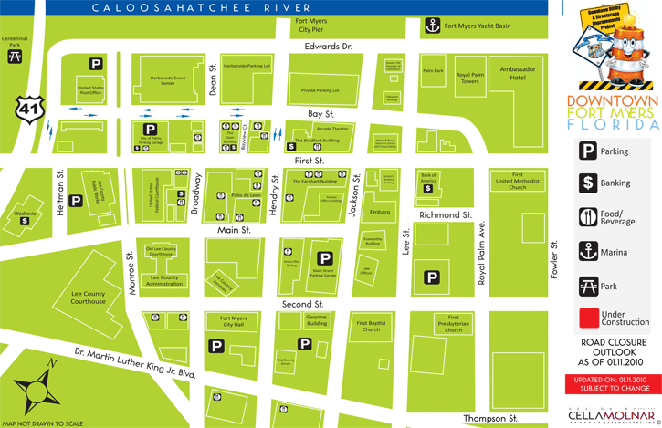
Project Maps
Below you will find the various maps associated with the City of Fort Myers Downtown Utility and Streetscape Improvements Project. These maps are updated very frequently - often on a daily basis. Please be aware of the "Updated On:" date located directly above the map image. By clicking on the map itself, you will be able to download the map at its full size in .PDF format. Adobe Reader is required for viewing.
Current Road Closures
Effective January 11, 2010
Updated On: January 11, 2010